
Work on your facility’s spatial data in your browser

Get access to 360° photos and point cloud data, so you can measure, document
and collaborate with your team from anywhere you want.

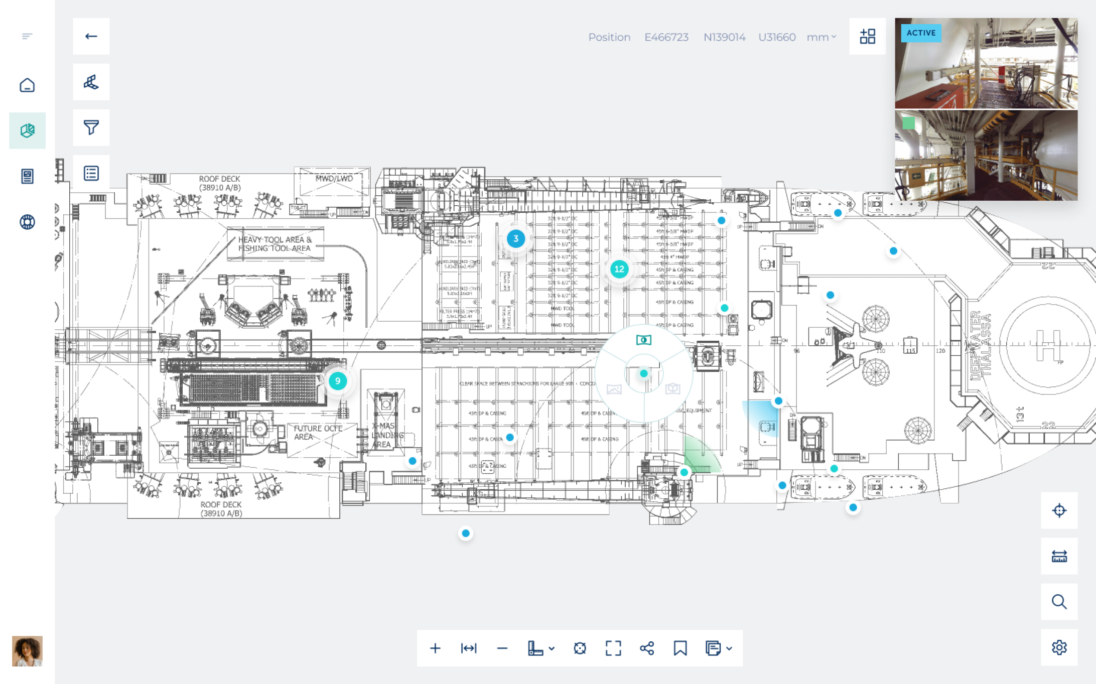
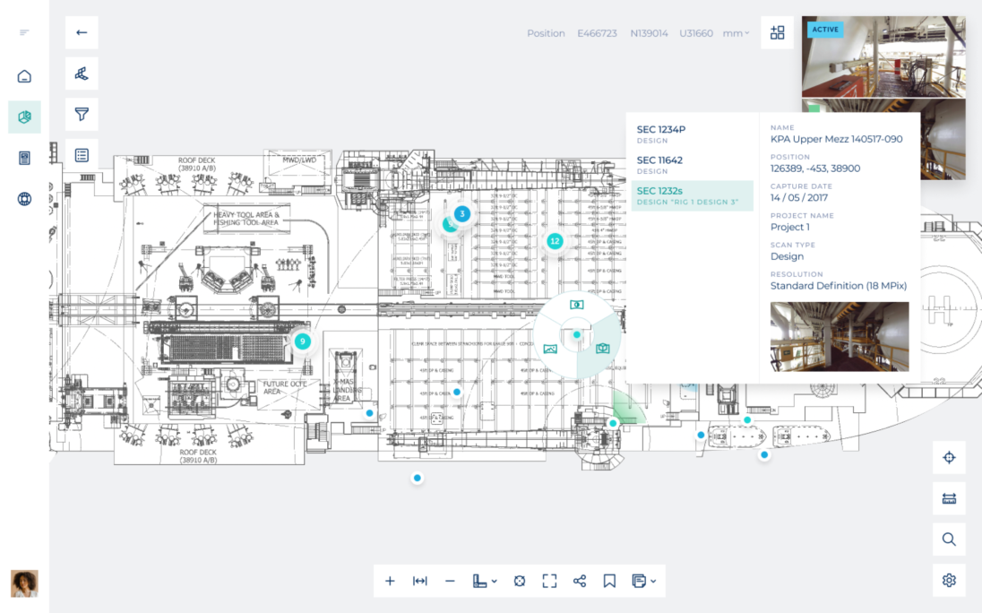
  1. Detailed architectural blueprint of a facility featuring marked areas for heavy tools, fishing tools, and various operational zones. The layout includes a roof deck and multiple labeled sections, with a navigation interface visible on the side for enhanced user interaction. Detailed architectural blueprint of a facility featuring marked areas for heavy tools, fishing tools, and various operational zones. The layout includes a roof deck and multiple labeled sections, with a navigation interface visible on the side for enhanced user interaction.
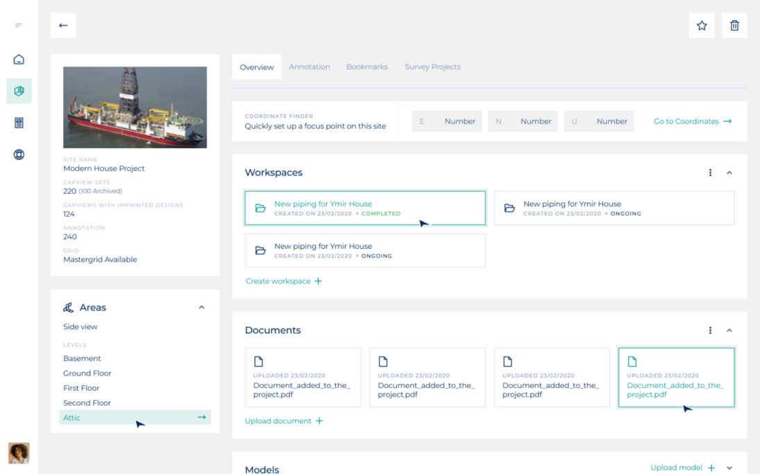
  2. Dashboard interface for the Modern House Project, displaying project details, workspaces, document uploads, and area levels including attic, basement, and floors. Features include annotations, bookmarks, and a coordinate finder for efficient project management. Dashboard interface for the Modern House Project, displaying project details, workspaces, document uploads, and area levels including attic, basement, and floors. Features include annotations, bookmarks, and a coordinate finder for efficient project management.
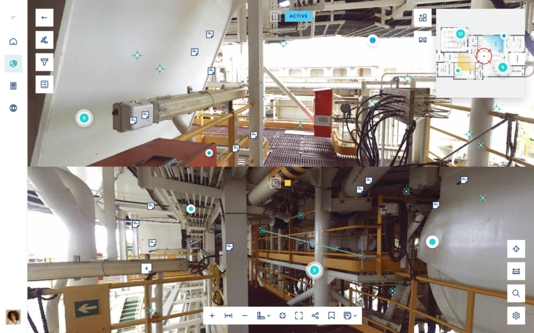
  3. Interior view of an industrial facility showcasing equipment and structural elements, including pipes, railings, and safety signs, with interactive markers for navigation and information. Interior view of an industrial facility showcasing equipment and structural elements, including pipes, railings, and safety signs, with interactive markers for navigation and information.
  4. Detailed architectural plan of KPA Upper Mezzanine, featuring labeled sections (SEC 1234P, SEC 11642, SEC 123s) and interactive elements for project management. Includes metadata such as capture date (14/05/2017), project name (Project 1), and scan type (Design) in a user-friendly interface. Detailed architectural plan of KPA Upper Mezzanine, featuring labeled sections (SEC 1234P, SEC 11642, SEC 123s) and interactive elements for project management. Includes metadata such as capture date (14/05/2017), project name (Project 1), and scan type (Design) in a user-friendly interface.

Trusted by leading innovators around the globe

Access

Access your sites, from anywhere you want

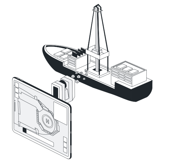
Work on scanned data, create measurements, plan and view sites that you are working on from anywhere you want based on the high resolution spherical panoramas. Accessibility is a priority so Ayelix will provide you access to your digital data just with internet connection.
Workflow

Create your workspace on Ayelix

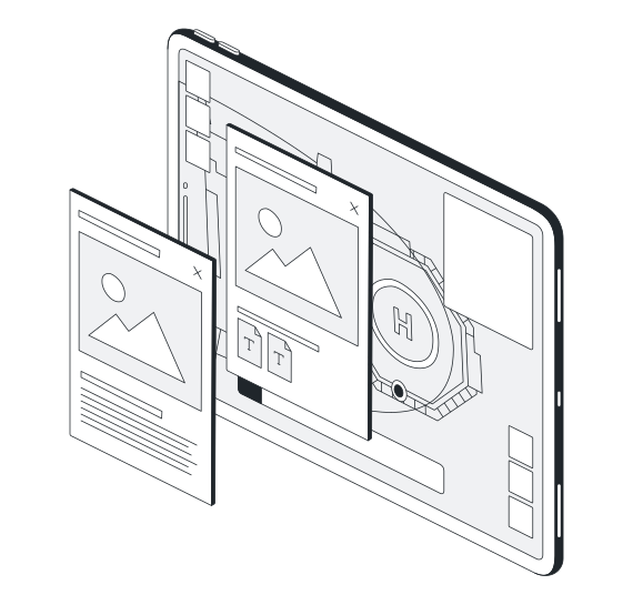
Quickly annotate, document and imprint 3D models into your site to gather all knowledge in one place. By creating groups you can also share all the important data collected and based on objects “digital twin” with your team members to let everyone stay on track.

Simplicity

Innovative and easy solutions in one place

Learning new tool is not always easy but on Ayelix we try to merge simplicity and innovative solutions by providing clear and intuitive to use website. We focus on clients’ needs and apart from the basic functions, we also offer additional solutions like Navisworks Plugin or ImageOnMap application.

Discover how we can help your company

Request your demo today and see the value Ayelix,
will bring to your projects